Barbados is an independent island country in the eastern Caribbean, alone in the Atlantic Ocean about 100 miles east of Saint Lucia and Saint Vincent and about 1,600 miles south-east of Miami. It is the most easterly island in the Caribbean, sitting just outside the arc of the Lesser Antilles at 13°10′ north, 59°33′ west .
That position explains most of what sets the island apart: white coral sand instead of volcanic, steady trade winds, and a nonstop flight of about four to five hours from the US East Coast. It also decides where to stay, because the island’s three coasts are three different places, and most of our Barbados villa rentals sit on the calm west coast.
59°33′W
Where is Barbados on a map?
Start at Florida and follow the islands south-east: Cuba, Hispaniola, Puerto Rico, then the Lesser Antilles, the chain that curves down toward South America. Barbados is the island just beyond that chain, east of Saint Lucia and Saint Vincent, in open water. It stands apart from the arc, which is why many maps of the region show it at the very edge.
Its nearest neighbors are Saint Lucia , about 90 miles to the north-west, and Saint Vincent , about 100 miles to the west; Grenada and Tobago lie 130 miles away to the south-west, and the coast of Venezuela about 220 miles. Because Barbados faces the Atlantic rather than sheltering behind the chain, it meets the north-east trade winds first, which keeps it breezy through most of the year. Its west coast looks toward the Caribbean Sea; its east coast faces open ocean.
Why it is coral, not volcanic, and why that matters to you
Most of the islands of the Lesser Antilles were built by volcanoes. Barbados was not. It was lifted out of the sea where two tectonic plates meet, and its surface is coral limestone; geologically speaking, it is still rising.
For a traveler this is not a footnote. Coral limestone is why the beaches are white to pale pink rather than gray or black, why the water close to shore is so clear, and why the interior is full of caves and underground streams: Harrison’s Cave, the island’s best-known attraction, is a limestone cavern of streams and pools that you tour by tram. It is also why Barbados is gentle rather than mountainous. Its highest point, Mount Hillaby, reaches about 1,100 feet, while Saint Vincent’s volcano rises to more than 4,000.
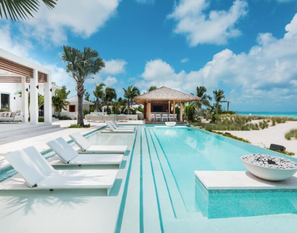
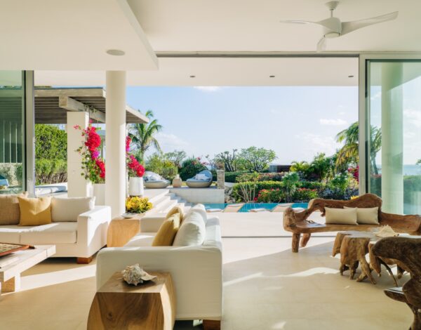
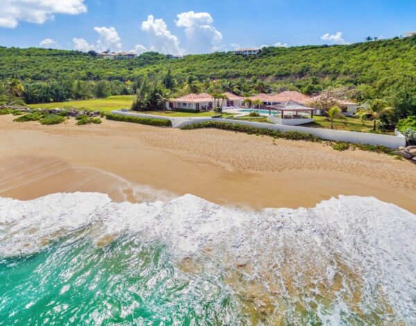
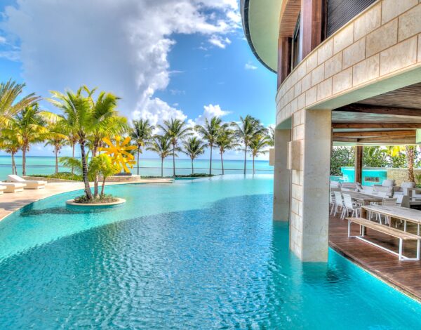
Our Barbados collection runs along the west coast, from Sandy Lane and Royal Westmoreland to Mullins and Gibbes: serviced beachfront houses and fully staffed estates. The same specialists plan stays across the Caribbean, from St Barts and Anguilla to Turks and Caicos.
The whole region, island by island, is on our Caribbean villa rentals page.
The three coasts, and how to choose between them
Barbados is small enough to cross in under an hour, but its coasts are different places, and the one you stay on will shape your week more than the villa itself. Our guide to Barbados beaches goes beach by beach.
The sheltered Caribbean side, and where the island’s grandest houses sit. Calm, clear water you can swim in most days of the year, powder sand, sunsets straight off the terrace, and the best restaurants, around Holetown and Speightstown. This is the Barbados most guests picture.
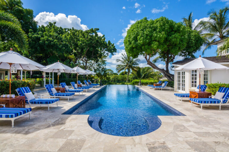
Livelier, younger and closer to the airport. The water has a little more movement, the beaches are wide, and there is more happening after dark, including the Friday night fish fry at Oistins, as much a local institution as a visitors’ one. An easy base for a first visit.
The wild side, and the one most visitors never see: cliffs, great rocks standing in the surf, and the break at Bathsheba known as the Soup Bowl. It is dramatic rather than swimmable, as the Atlantic here is strong and unsafe for casual bathing, but it is where the island stops performing.
That question is worth a conversation rather than a search. Tell us who is traveling and roughly when, and a Barbados specialist will come back with houses on the right coast for it.
Nothing to pay, nothing to commit · reply within 24 hours
Getting there: how far is Barbados from the US?
Nonstop flights leave from Miami, New York, Charlotte and Atlanta, with more from other East Coast cities in winter.
| From | Nonstop flight | Distance |
|---|---|---|
| Miami | 3½ – 4 hours | About 1,600 miles |
| New York | 4½ – 5 hours | About 2,100 miles |
| Charlotte, Atlanta | About 4½ hours | About 2,000 – 2,100 miles |
| Toronto | 5 – 5½ hours | About 2,400 miles |
| London | 8½ – 9 hours | About 4,200 miles |
| Neighboring islands | 30 – 60 minutes | Saint Lucia, Saint Vincent, Grenada, Trinidad |
Every flight lands at Grantley Adams International Airport (BGI) , near the south-east corner of the island. From there it is about 20 minutes to the south coast and 40 to 45 minutes to the west coast, depending on traffic. Driving is on the left.
Barbados has been independent since November 30, 1966, and became a parliamentary republic on November 30, 2021 , with a Barbadian president as head of state; it remains in the Commonwealth. US citizens need a valid passport. English is the official language, and Bajan Creole the everyday one. The Barbados dollar is fixed at two to one against the US dollar, and US currency is widely accepted. The island keeps Atlantic Standard Time all year: the same as New York in summer, an hour ahead in winter.
When to go
The dry season runs from December to May , and mid-December to mid-April is the peak: lower humidity, steady trade winds, and the island at its busiest. Christmas, New Year and the weeks around Easter are the peak within the peak, and the best houses on the west coast are booked nine to twelve months ahead. Our note on Christmas in the Caribbean sets out how the festive weeks fill.
May and late November are the quiet shoulders, and they are excellent: the same sea, with better availability. The Atlantic hurricane season runs from June to November, though Barbados lies near the southern edge of the hurricane belt and is struck less often than islands further north.
The one date to plan around deliberately is Crop Over , the summer festival that grew out of the end of the sugar-cane harvest. It builds through July to Grand Kadooment on the first Monday in August: the island at full volume, with accommodation filling across the south and west.
What the island is actually like
The cliché about Barbados is that it is the most English of the Caribbean islands, and there is something in it: cricket at Kensington Oval, afternoon rum punch, a certain formality in the older hotels. The more useful description is that it is the most self-possessed. It has been a settled, busy society for almost four centuries, with around 280,000 people across eleven parishes, and it is not a place that exists only for visitors.
Eat the national dish, flying fish and cou-cou, at least once. Go to Oistins on a Friday night. And raise a glass to the island’s claim to be the birthplace of rum: Mount Gay traces its distillery to a deed of 1703.
Where to stay: why a villa suits this island
Barbados has excellent hotels, and it also has one of the Caribbean’s deepest collections of private houses; the west coast in particular has been building them for generations. For a family or a group of friends, both the arithmetic and the experience tend to favor the villa. Browse our Barbados villas , or our wider Caribbean villa collection , from Turks and Caicos to St Barts and Anguilla.
- The beach in front of you is the point. A west-coast house puts calm swimming water at the end of the garden, all day.
- Staff make the difference here. Many of the better houses come with a cook and housekeepers, and some with a butler, so the week runs without anyone in your party organizing it. Our guide to Caribbean villas with a chef explains what that includes in practice.
- Groups stay together. Six to twenty people in one house, one dining table, one pool, rather than scattered across hotel floors.
- It is a private week, not a resort week. On an island this settled, that is the version most of our guests want.
Four west-coast houses to start from
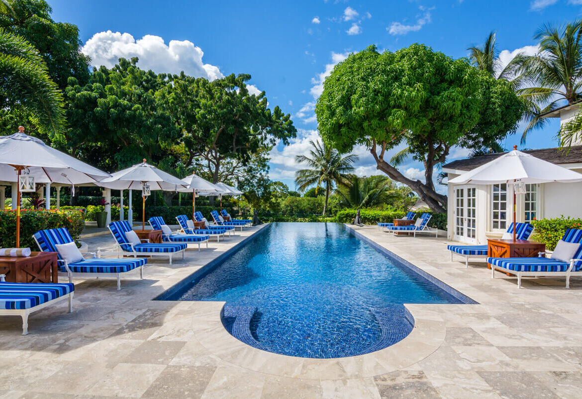
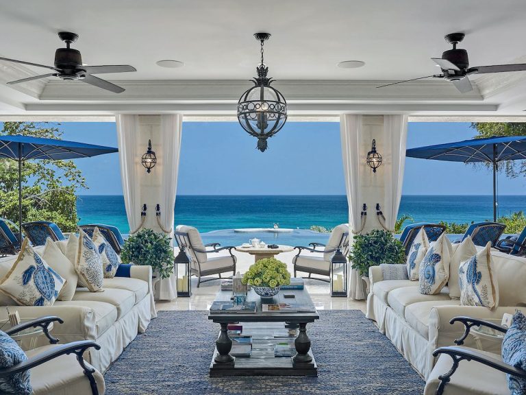
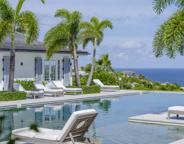
All four are fully staffed and sit on the Sandy Lane Estate, on the calm west coast. Staffing, minimum stays and inclusions differ from house to house; we confirm them in writing, with rates for your dates, before you commit.
The wider collection runs beyond this one estate, to Royal Westmoreland’s gated fairways and the quieter north around Mullins and Gibbes. All of it is on our Barbados villa rentals page, and our specialists know these houses individually: which stretch of coast each one sits on, what the staffing includes, and which ones work for children.
An island worth the extra hundred miles
So, where is Barbados? A hundred miles east of the island chain, alone in the Atlantic, and better for it. The offset is why the trade winds arrive here first, why the sand is coral white rather than volcanic gray, and why it feels like a country rather than a resort: settled, self-possessed and busy with its own life. Choose the coast first, then the house. And if you are weighing it against the rest of the region, our guide to the best places in the Caribbean and our pick of the most scenic Caribbean islands are the places to start.
Where is Barbados? Your questions answered
Where is Barbados located on a map?
In the eastern Caribbean, on its own in the Atlantic Ocean at about 13°10′ north and 59°33′ west. It is the most easterly island in the Caribbean, about 90 miles east of Saint Lucia and 100 miles east of Saint Vincent, and about 220 miles north-east of the coast of Venezuela.
Is Barbados in the Caribbean or the Atlantic?
Both, depending on the definition. Barbados is part of the Caribbean by history, culture and every regional grouping, but it sits east of the chain of islands that borders the Caribbean Sea, so the water around it is the Atlantic. Its west coast is the calm, sheltered side; its east coast faces the open ocean.
Is Barbados in Africa or America?
America. Barbados is a Caribbean island country, usually counted as part of North America, and it lies about 2,800 miles west of the coast of West Africa. Most Barbadians are of African descent, and the island’s culture draws on both its West African and British roots.
Is Barbados part of the United States?
No. Barbados is an independent country: it became independent from Britain on November 30, 1966, and a republic on November 30, 2021, and it remains a member of the Commonwealth. It is about 1,600 miles south-east of Miami, and US citizens need a valid passport to visit.
How far is Barbados from Miami and New York?
About 1,600 miles from Miami and 2,100 miles from New York. Nonstop flights take about 3½ to 4 hours from Miami and 4½ to 5 hours from New York, and every flight lands at Grantley Adams International Airport (BGI) on the south coast.
What language do they speak in Barbados?
English is the official language, used in schools, business and government. Among themselves, Barbadians also speak Bajan, an English-based Creole.
What currency does Barbados use?
The Barbados dollar, fixed at two to one against the US dollar since 1975. US dollars and major credit cards are widely accepted.
Is Barbados safe to visit?
Barbados is one of the more settled destinations in the Caribbean, with a stable government and a long-established tourism economy, and ordinary precautions apply as they would anywhere. Our Barbados safety guide covers the details.
Which coast of Barbados should I stay on?
The west, the Platinum Coast in St James and St Peter, for calm swimming water, the grandest houses and the best restaurants. The south, in Christ Church, for shorter transfers, wide beaches and more going on after dark. The east is spectacular but faces the open Atlantic and is not safe for casual swimming: visit it for a day rather than stay there.
When is the best time to visit Barbados?
The dry season runs from December to May, and mid-December to mid-April is the peak, when the best houses for Christmas, New Year and Easter are booked nine to twelve months ahead. May and late November are quieter, with the same sea and better availability. The hurricane season runs from June to November, though Barbados lies near the southern edge of the hurricane belt.
Our specialists know the Barbados houses individually: the stretch of coast, the staffing, the walk to the water. Send us your dates and your group, and we will come back with a private shortlist.
Toll-free +1 888 279 6444 · Miami +1 305 432 1731
Distances between islands are measured coast to coast; distances to US and other cities, airport to airport. Both are rounded. Coordinates, land area, highest point and time zone are standard reference figures. Historic Bridgetown and its Garrison was inscribed as a UNESCO World Heritage Site in 2011. Flight times are typical nonstop durations and vary by airline, routing and season. Confirm entry requirements and passport validity before you travel.